


We use cookies on our website to give you the most relevant experience by remembering your preferences and repeat visits. By clicking “Accept All”, you consent to the use of ALL the cookies.
World news , Around the world ,
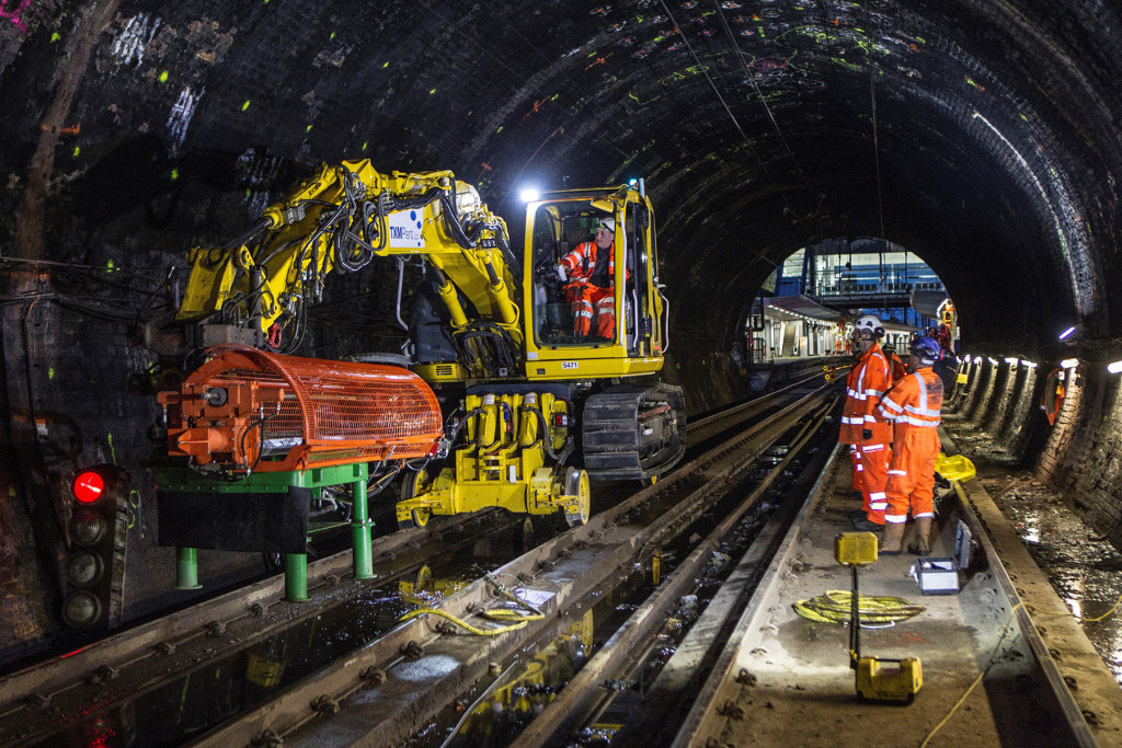
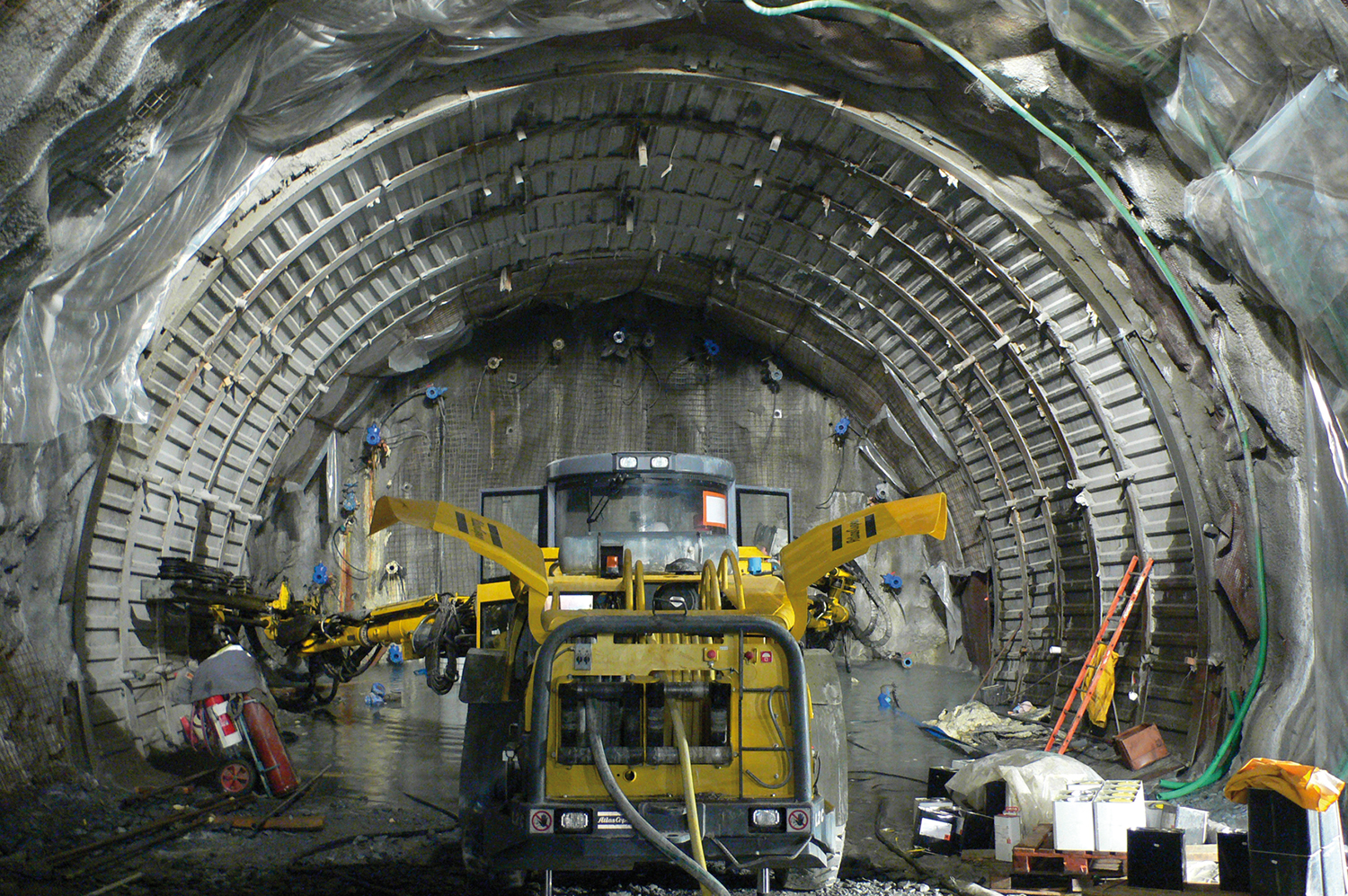
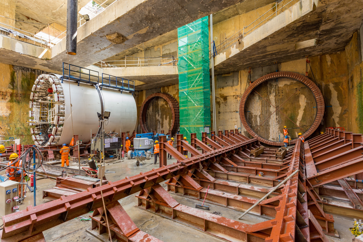
Going underground: untapped land uses beneath our feet
Madrid, Spain
Going underground: untapped land uses beneath our feet
Madrid, Spain
Share in